 Skip to content
Map 2.1. British Shipping
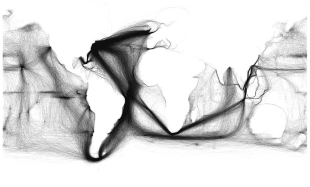
back to images & maps Because we have solid information on the movement of ships, scholars have been developing innovative representations on topics such as commercial shipping and whaling. This information—which often includes meteorological data and other observations—is now being used to help reconstruct climate and oceanic systems. This map, depicting shipping, helps us understand […]
Map 1.1 Gunpowder
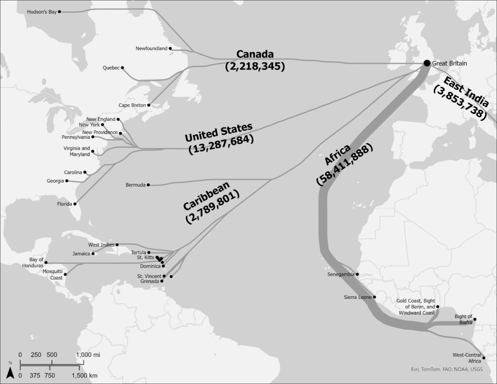
back to images & maps This map illustrates official British gunpowder exports during the eighteenth century. Most exports were tied to the slave trade and to the development and maintenance of slave regimes in the Americas. Clearly, Africa received the lion’s share of exports. Other European countries were also exporting powder to Africa, from France […]