 Skip to content
Map 17.1. Asia in the age of empire
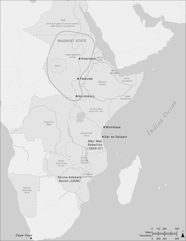
back to images & maps The Qing and Russian empires were the nineteenth century’s largest land-based empires, followed by the United States. This map depicts the extent of the Qing Empire at its greatest extent, and some of the cataclysms that unfolded on its eastern flank in the nineteenth century as Western imperialism insinuated itself […]
Ch17.1. Canton, China
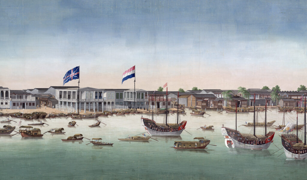
back to images & maps Ch17.1. Canton, China Canton, China, ca. 1760, British Library. By the middle of the eighteenth century, Canton (Guangzhou) had become the most important port connecting China and the West. Large quantities of goods moved in and out of the city: Chinese tea, silk, porcelain, American silver, and increasingly large amounts […]