 Skip to content
Map 6.1. Indian Ocean world
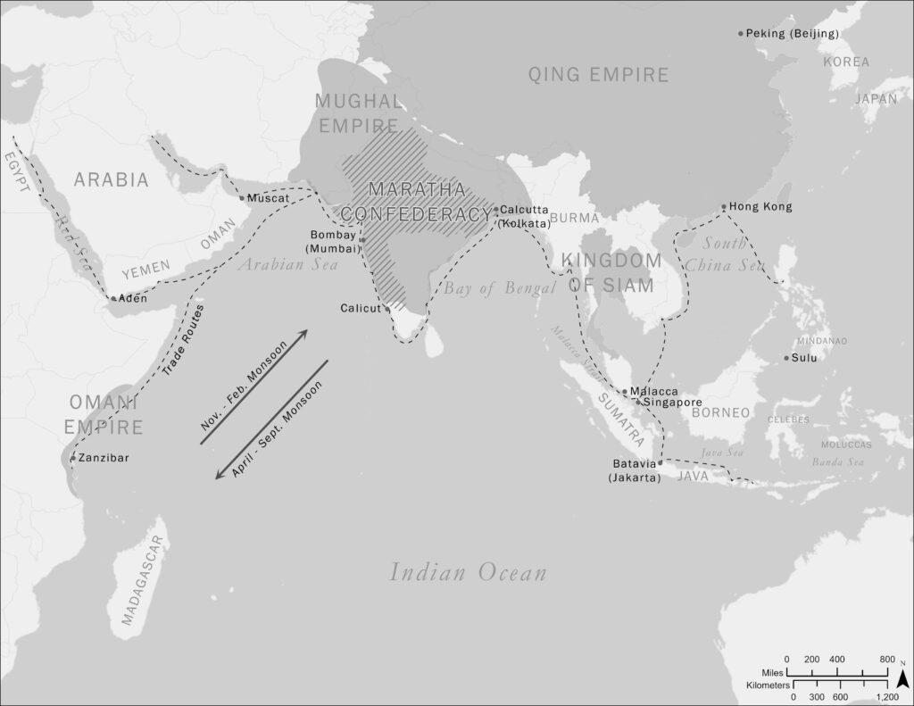
back to images & maps Place Map 5.1 alongside this map of the Indian Ocean world, add Map 2.1 on British shipping, and you will get a sense of the bewildering complexity and diversity of this part of the planet. What is not represented here is the traffic of dhows moving along monsoonal systems in […]
Ch6.extra. Iranun trading warship
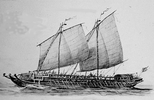
back to images & maps Ch6.extra. Iranun trading warship Iranun trading warship, c. 1890. We are only just beginning to develop a detailed understanding of the commercial networks unfolding across maritime Asia. Most scholarship has concentrated on European traders, beginning with the Portuguese and the Spanish in the early sixteenth century. But European merchants were […]