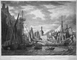
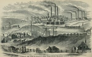
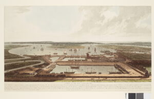
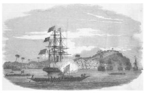
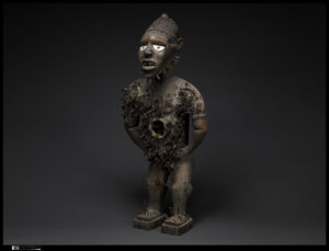
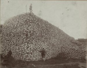
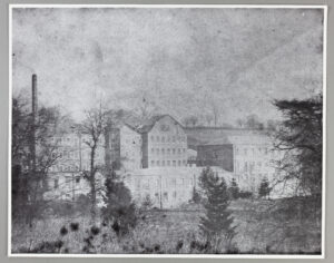
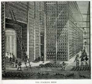
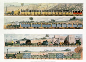
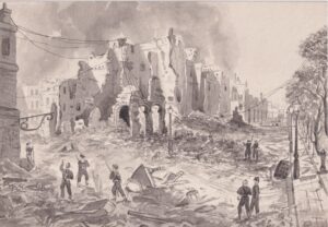
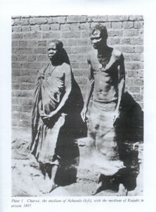
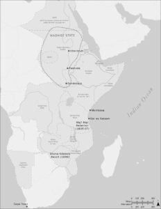
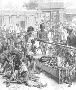
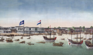
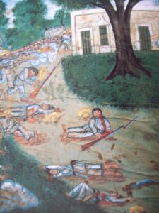
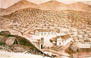
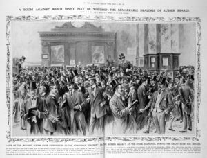
Included here are all the maps and images from The Killing Age, in addition to a few extras. Each is accompanied by a brief description that provides some additional context and information. Over the coming months, I will be adding more images, including those of contemporary artists who are producing important work engaging with our age of global warming.
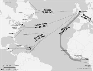
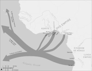
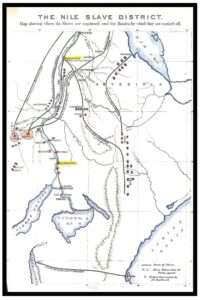
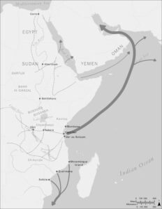
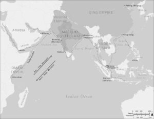
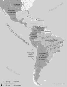
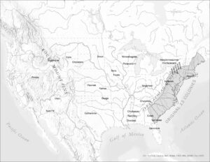
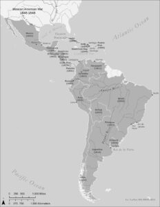
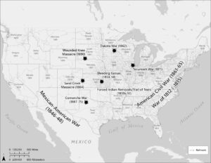
Ms. Megan Slemons, at Emory’s Center for Digital Scholarship, produced all the maps for The Killing Age. Ms. Slemons has specialties in library science and geospatial technologies at Emory University. Ms. Slemons and I worked together preparing the maps using archival data and original maps from 1700 to the present.
 Skip to content